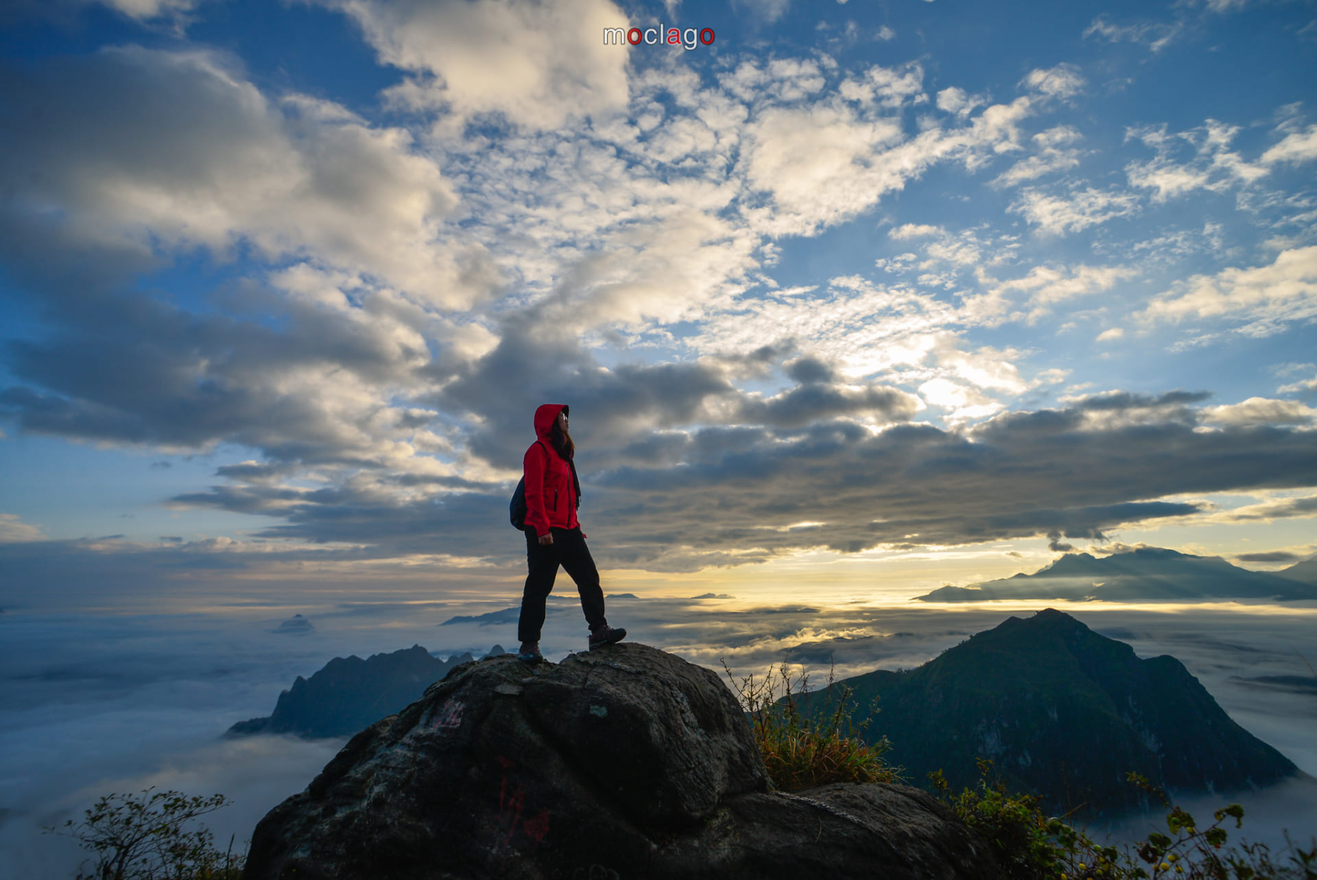
Pu Luong Topography
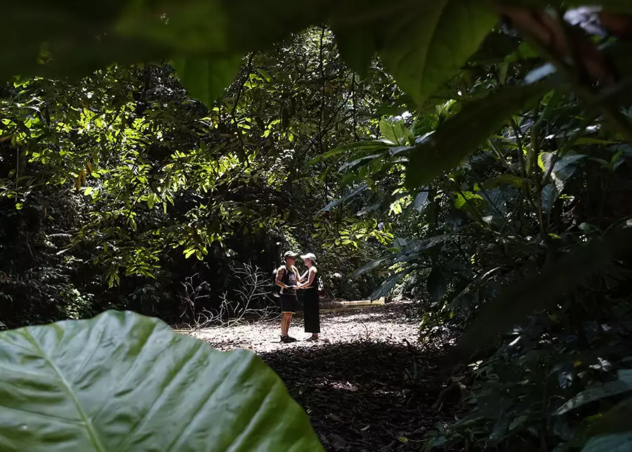
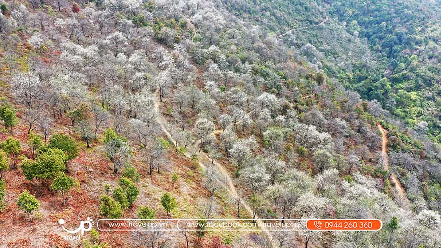
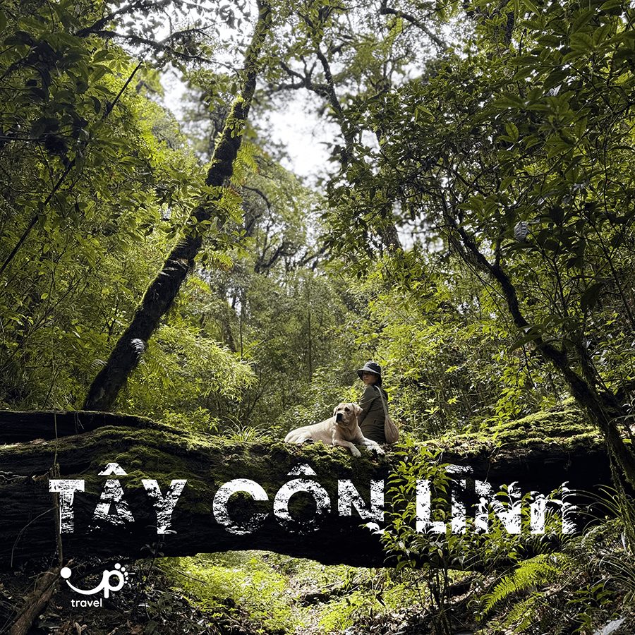
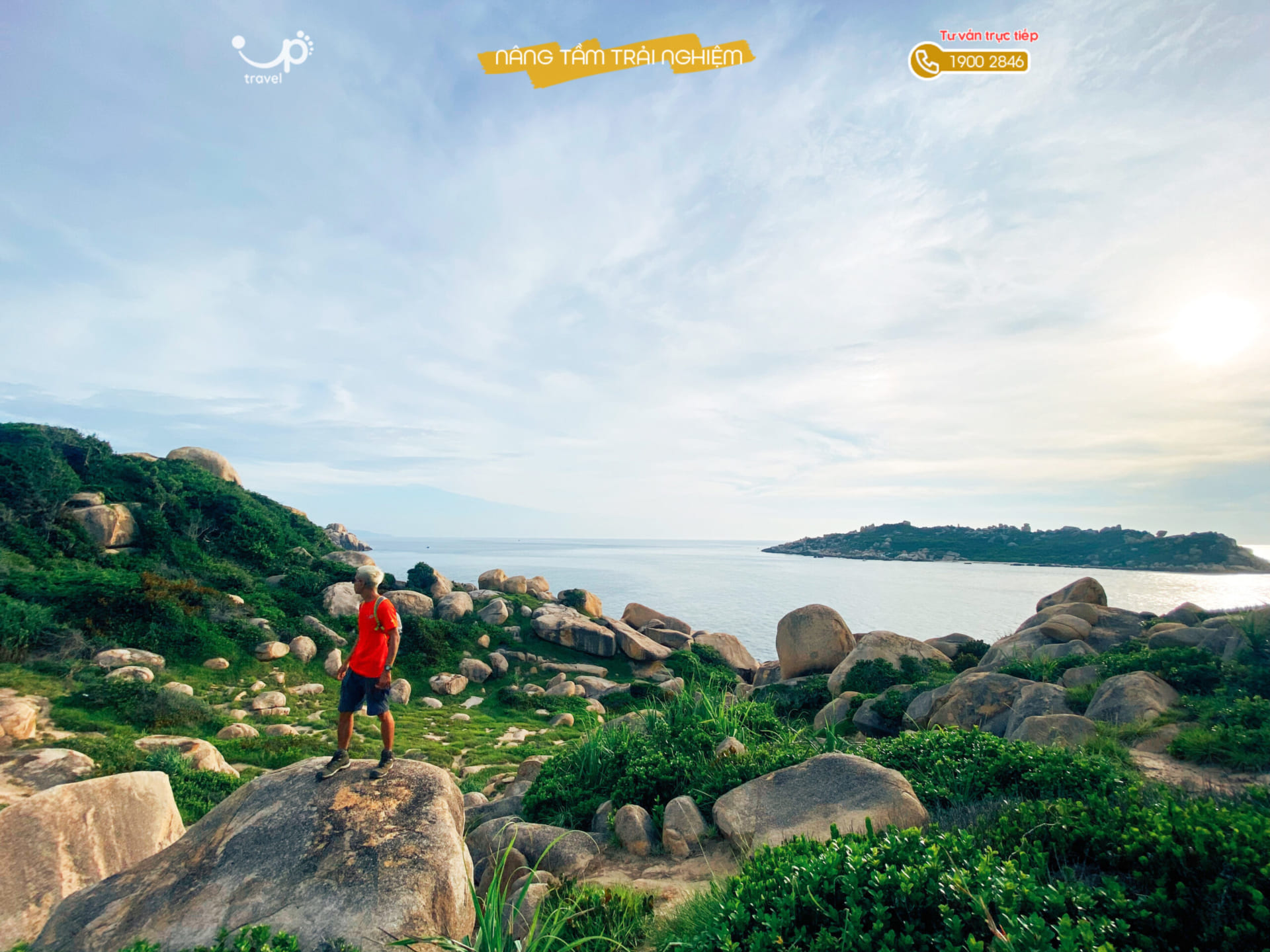
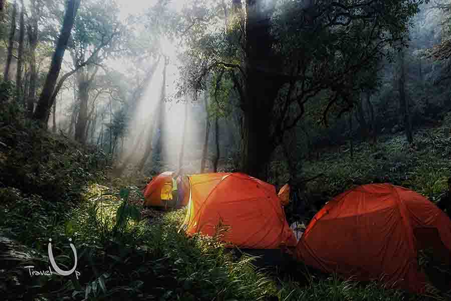
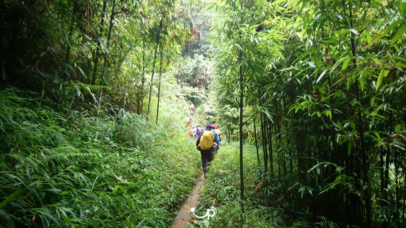
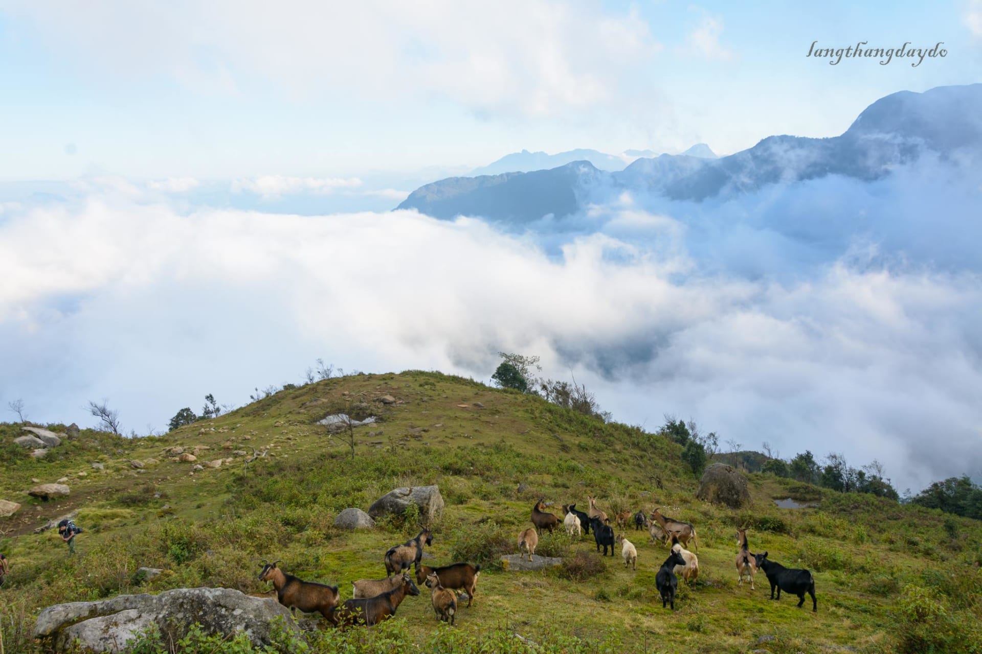
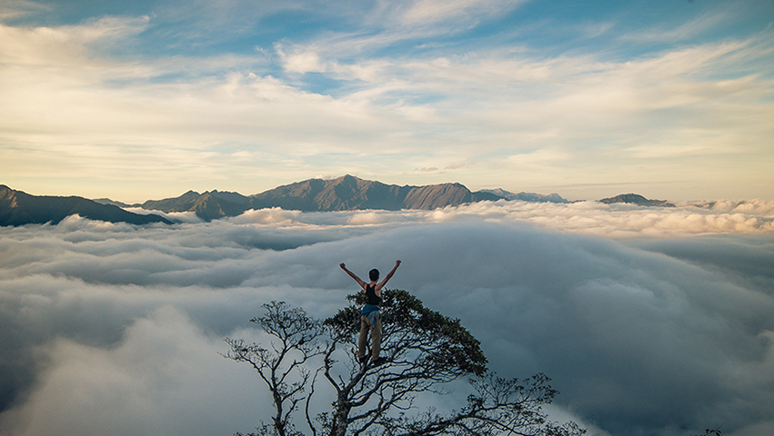
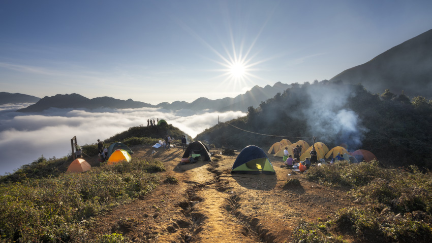
The Pu Luong Nature Reserve is decorated with limestone landscape, mountains covered by primary forest and jungle. The mountain range takes a big part of the land and allows to create some hidden valleys in between.
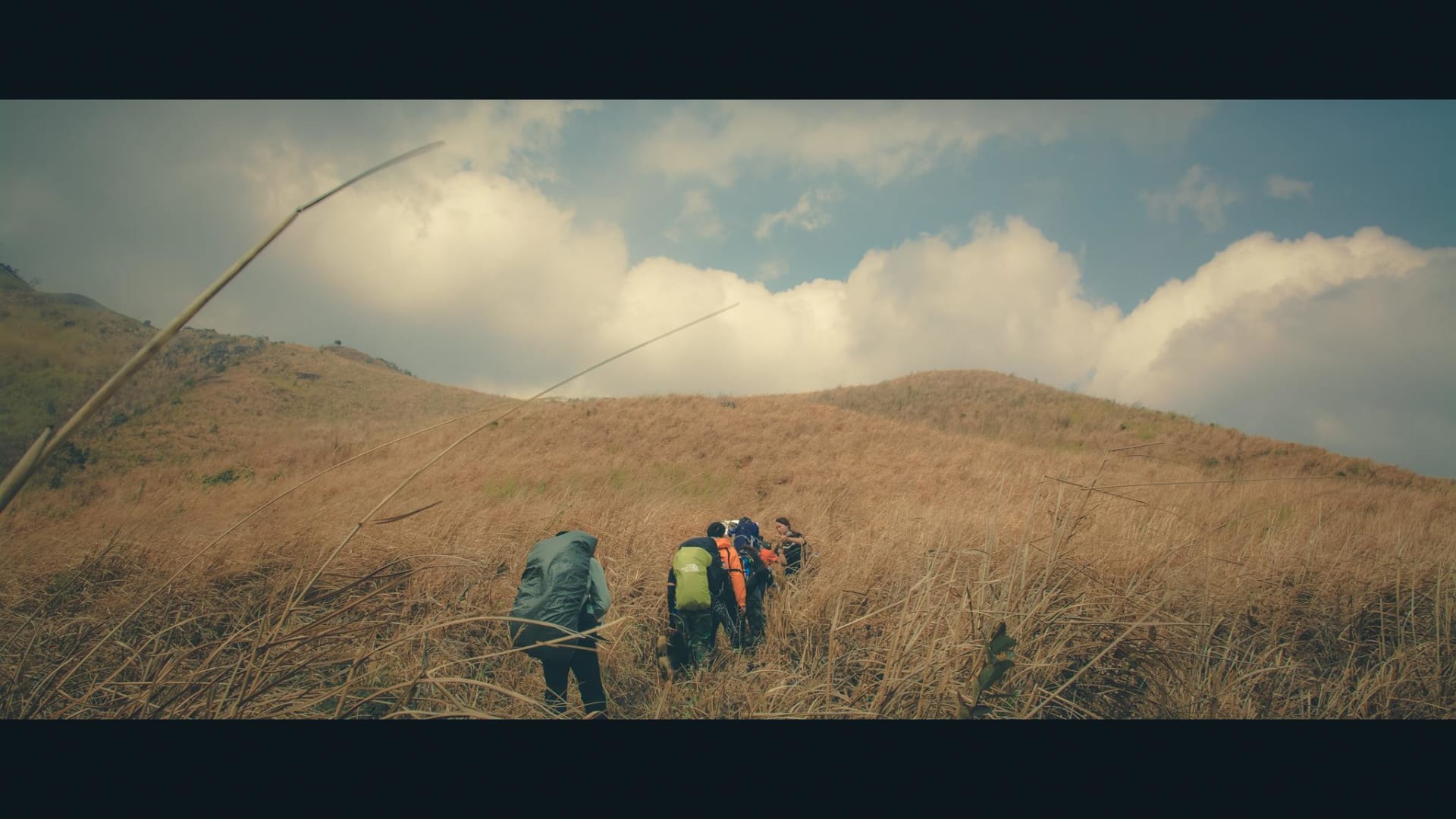
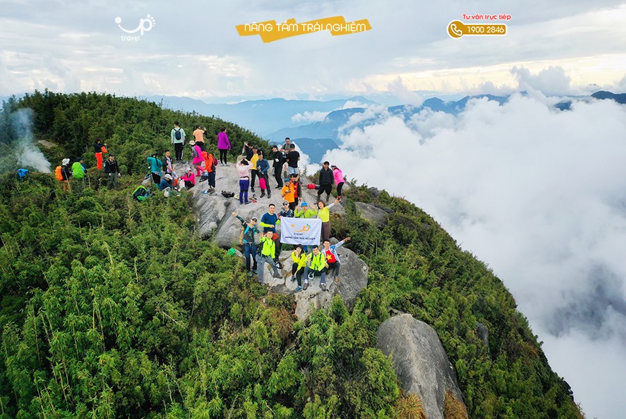
Pu Luong in local language means “The highest peak in the area” and culminates at a height of 1700m. Nothing to compare with the high mountains of the far north in Lao Cai, Lai Chau or Ha Giang, however, the more reasonable scale in Pu Luong allows an easier access to a larger group of people.
Besides, Pu Luong is also called as “the small Sapa” due to rice field terraces sliding down the hills or in the valleys. As the altitude is lower, it seems less impressive as the one of Sapa but it finally creates a closer connection to the nature. Especially, each rice ponds are seperated by random stone walls in different sizes creating wilder shapes of beauty. The rice fields are disseminated in different areas.
On the east side of the Reserve, to fulfill and amplify the beauty and peacefulness of the area, the Ma river is crossing the valley, meandering between karst peaks. The local getting benefits of this natural resource to fish and irrigate the rice fields and different cultivations.
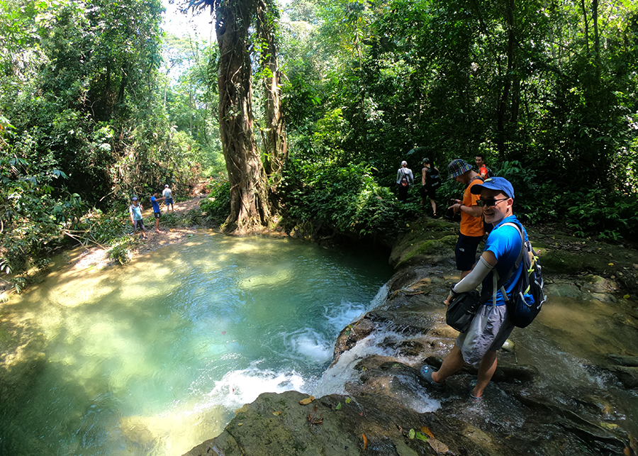
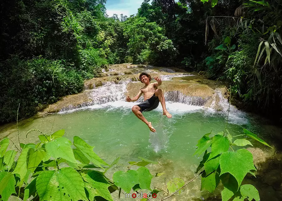
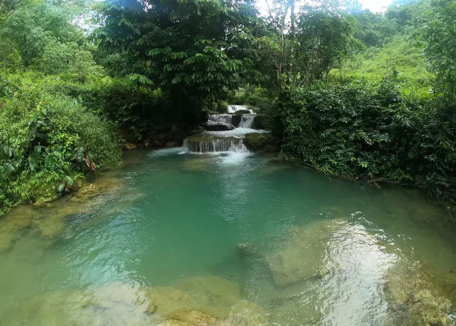
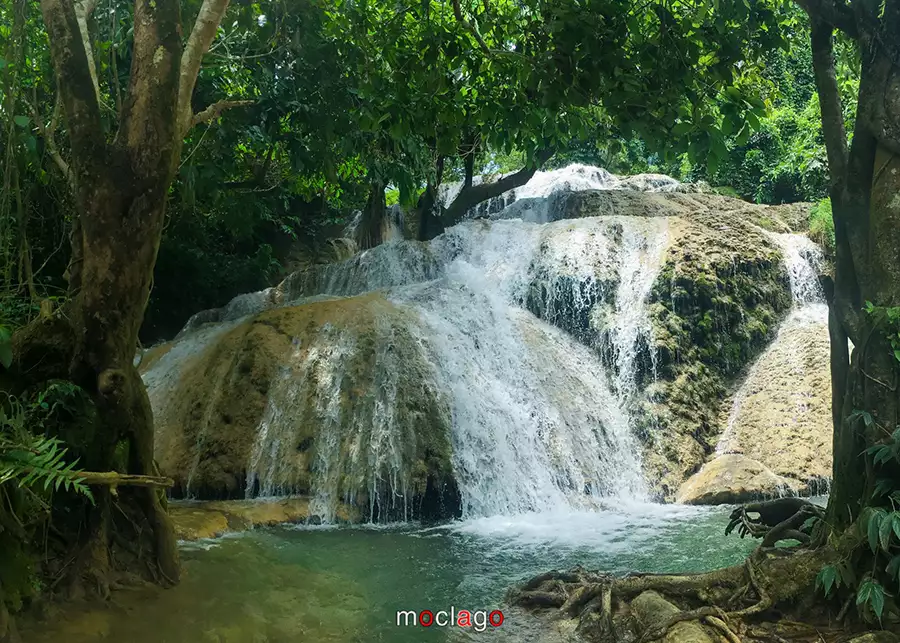
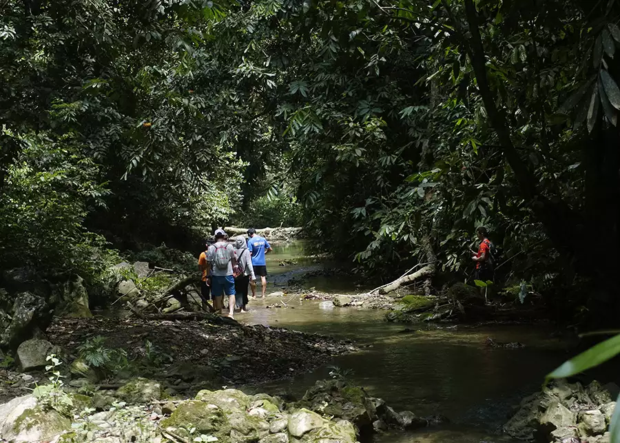
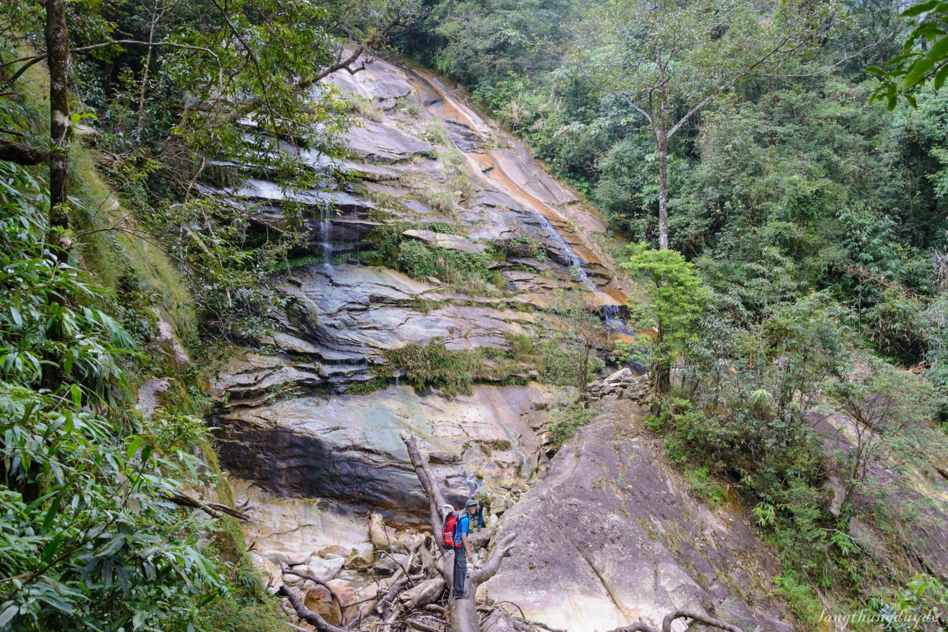
Some small streams, that can grow during the rainy season, can be found in many places inside the jungle creating some small waterfalls. Hieu village is the perfect example with the multi stairs waterfall along the village.


